
PROTECT YOUR DNA WITH QUANTUM TECHNOLOGY
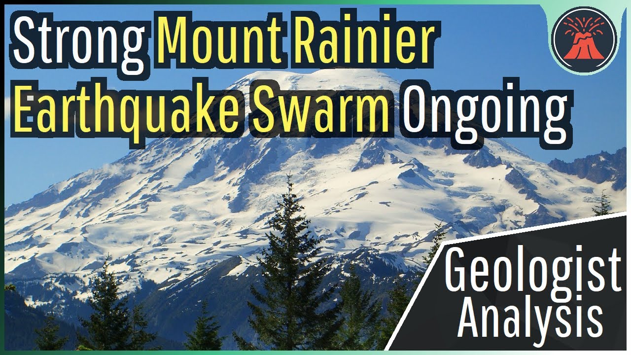
Orgo-Life the new way to the future Advertising by AdpathwayHow dangerous are Antarctica's volcanoes? While many people do not think about potentially hazardous volcanoes on the icy continent, they do exist and have the potential to effect people outside of Antarctica. Today's video will discuss all of the continent's known or suspected active volcanoes and assign them a hazard rating through the opinion & analysis of a geologist. Thumbnail Photo Credit: A. Eschenbacher, Used with Permission This image shows degassing from Mount Erebus's summit crater (which is actively erupting). If you would like to support this channel, consider using one of the following links: (Patreon: http://patreon.com/geologyhub) (YouTube membership: https://www.youtube.com/channel/UCYeGh5VML5XPr5jYnzh3J6g/join) (Gemstone & Mineral Etsy store: http://prospectingarizona.etsy.com) (GeologyHub Merch Etsy store: http://geologyhub.etsy.com) Google Earth imagery used in this video: ©Google & Data Providers This video is protected under "fair use". If you see an image and/or video which is your own in this video, and/or think my discussion of a scientific paper (and/or discussion/mentioning of the data/information within a scientific paper) does not fall under the fair use doctrine, and wish for it to be censored or removed, contact me by email at [email protected] and I will make the necessary changes. Various licenses used in sections of this video (not the entire video, this video as a whole does not completely fall under one of these licenses) and/or in this video's thumbnail image (and this list does not include every license used in this video and/or thumbnail image): Public Domain: https://creativecommons.org/publicdomain/mark/1.0/ CC BY 4.0: https://creativecommons.org/licenses/by/4.0/legalcode Sources/Citations: [1] U.S. Geological Survey [2] J. Ewert, A. Diefenbach, D. Ramsey, "2018 Update to the U.S. Geological Survey National Volcanic Threat Assessment", U.S. Geological Survey, Accessed October 22, 2022. https://pubs.usgs.gov/sir/2018/5140/sir20185140.pdf [3] VEIs, dates/years, composition, tephra layer name, DRE estimates, and bulk tephra volume estimates for volcanic eruptions shown in this video which were assigned a VEI 4 or larger (and are not the Mount Rittman volcano) are sourced from the LaMEVE database (British Geological Survey © UKRI), https://www2.bgs.ac.uk/vogripa/view/controller.cfc?method=lameve, Used with Permission, https://www2.bgs.ac.uk/vogripa/view/controller.cfc?method=lameve, Used with Permission [4] Source of Volcanic Explosivity Index (VEI) methodology and criteria: Newhall, C. G., and Self, S. (1982), The volcanic explosivity index (VEI) an estimate of explosive magnitude for historical volcanism, J. Geophys. Res., 87(C2), 1231–1238, doi:10.1029/JC087iC02p01231. [5] Geyer, A., Álvarez-Valero, A.M., Gisbert, G. et al. Deciphering the evolution of Deception Island’s magmatic system. Sci Rep 9, 373 (2019). https://doi.org/10.1038/s41598-018-36188-4, CC BY 4.0. [6] Geyer, A., Marti, A., Giralt, S. et al. Potential ash impact from Antarctic volcanoes: Insights from Deception Island’s most recent eruption. Sci Rep 7, 16534 (2017). https://doi.org/10.1038/s41598-017-16630-9, CC BY 4.0. [7] Álvarez-Valero, A.M., Sumino, H., Caracausi, A. et al. Author Correction: Noble gas isotopes reveal degassing-derived eruptions at Deception Island (Antarctica): implications for the current high levels of volcanic activity. Sci Rep 12, 22068 (2022). https://doi.org/10.1038/s41598-022-26369-7, CC BY 4.0. [8] Mi Jung Lee, Philip R. Kyle, Nels A. Iverson, Jong Ik Lee, Yeongcheol Han, Rittmann volcano, Antarctica as the source of a widespread 1252 ± 2 CE tephra layer in Antarctica ice, Earth and Planetary Science Letters, Volume 521, 2019, Pages 169-176, ISSN 0012-821X, https://doi.org/10.1016/j.epsl.2019.06.002. (https://www.sciencedirect.com/science/article/pii/S0012821X19303358) 0:00 Antarctic Volcano 0:39 Deception Island 2:48 Hazard Ratings 3:39 Mt. Erebus 4:58 Summary


 English (US) ·
  French (CA) ·