
PROTECT YOUR DNA WITH QUANTUM TECHNOLOGY
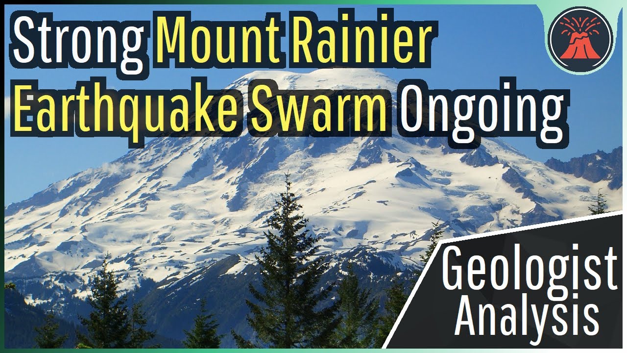
Orgo-Life the new way to the future Advertising by AdpathwayHawaii's tallest volcano recently experienced a partial summit collapse, and we all missed it until recently. This occurred at Hawaii's Mauna Loa volcano in 1868, causing a more than 1 mile wide section of its summit to drop by hundreds of feet. Today's video will discuss this eruption and why a summit collapse might have happened. Thumbnail Photo Credit: Frame from a video by U.S. Geological Survey, Hawaiian Volcano Observatory, (Produced by USGS Hawaiian Volcano Observatory (HVO)), https://www.usgs.gov/media/videos/k-lauea-volcano-midday-overflight-halemaumau-crater, Public Domain. This image was overlaid with text and then overlaid with GeologyHub made graphics (the image border & the GeologyHub logo). Note: This video's thumbnail image is from the 2018 caldera collapse of the Kilauea volcano. It is being shown since its appearance likely was fairly similar to Mauna Loa's 1868 caldera collapse. Also, by "recent" this video means geologically recent. Mauna Loa did not just experience a partial summit collapse. Today's video was based off of information contained in this USGS article: https://www.usgs.gov/observatories/hvo/news/volcano-watch-a-collapse-mauna-loas-summit-1868-kilaueas-2018 If you would like to support this channel, consider using one of the following links: (Patreon: http://patreon.com/geologyhub) (YouTube membership: https://www.youtube.com/channel/UCYeGh5VML5XPr5jYnzh3J6g/join) (Gemstone & Mineral Etsy store: http://prospectingarizona.etsy.com) (GeologyHub Merch Etsy store: http://geologyhub.etsy.com) Google Earth imagery used in this video: ©Google & Data Providers This video is protected under "fair use". If you see an image and/or video which is your own in this video, and/or think my discussion of a scientific paper (and/or discussion/mentioning of the data/information within a scientific paper) does not fall under the fair use doctrine, and wish for it to be censored or removed, contact me by email at [email protected] and I will make the necessary changes. Various licenses used in sections of this video (not the entire video, this video as a whole does not completely fall under one of these licenses) and/or in this video's thumbnail image (and this list does not include every license used in this video and/or thumbnail image): Public Domain: https://creativecommons.org/publicdomain/mark/1.0/ Sources/Citations: [1] U.S. Geological Survey [2] Hawaiian Volcano Observatory [3] Max Wyss, Robert Y. Koyanagi, "Isoseismal maps, macroseismic epicenters, and estimated magnitudes of historical earthquakes in the Hawaiian Islands", 1992, DOI: 10.3133/b2006, U.S. Geological Survey, USGS Publications Warehouse, https://www.usgs.gov/publications/isoseismal-maps-macroseismic-epicenters-and-estimated-magnitudes-historical Note: Source 3 was used to map the MMI shaking intensity contours caused by the April 2nd 1868 Hawaiian earthquake. 0:00 Caldera Collapse 0:36 Mauna Loa 1868 Collapse 3:06 Submarine Eruption 3:52 Submarine Intrusion 5:00 Where is the Caldera Today?


 English (US) ·
  French (CA) ·