
PROTECT YOUR DNA WITH QUANTUM TECHNOLOGY
Orgo-Life the new way to the future Advertising by Adpathway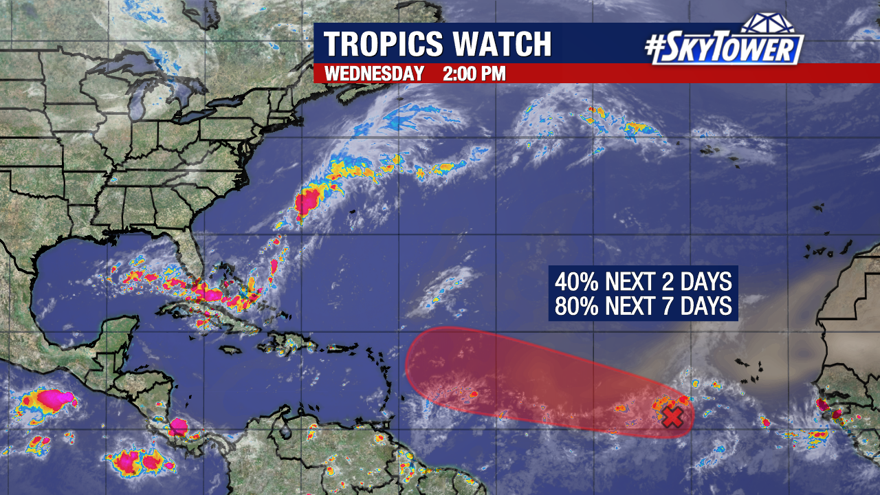
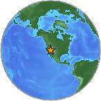
Odds of development continue to rise (now at 80%) for a tropical wave in the eastern tropical Atlantic.
The majority of weather models develop this into at least a tropical depression within the next week.
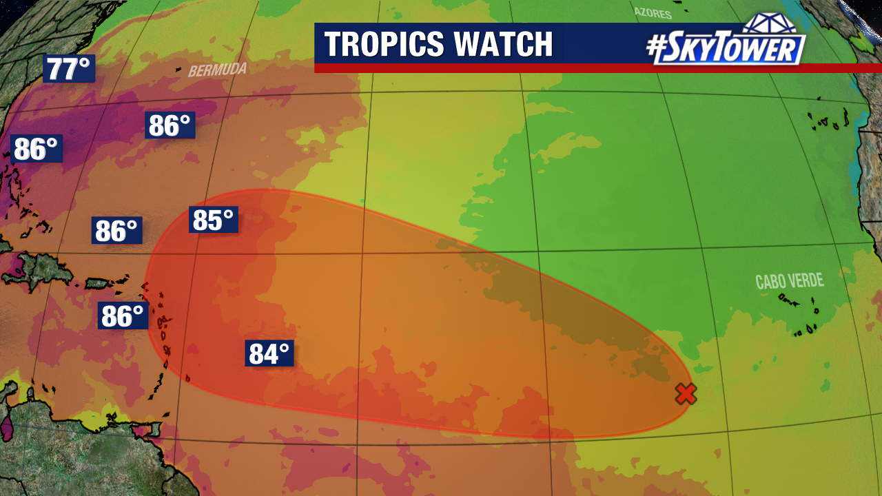
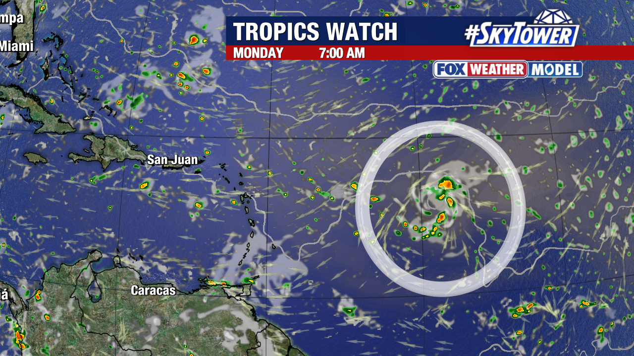
While battling dry air in the short term, it will eventually track into a more favorable environment with warmer sea surface temperatures as it nears the Leeward Islands. These islands will need to monitor the progress of this system carefully over the coming days.

A weaker system (disturbance or tropical depression) would likely track farther west, while a quickly organizing and strengthening tropical storm or hurricane would likely be steered north quickly.
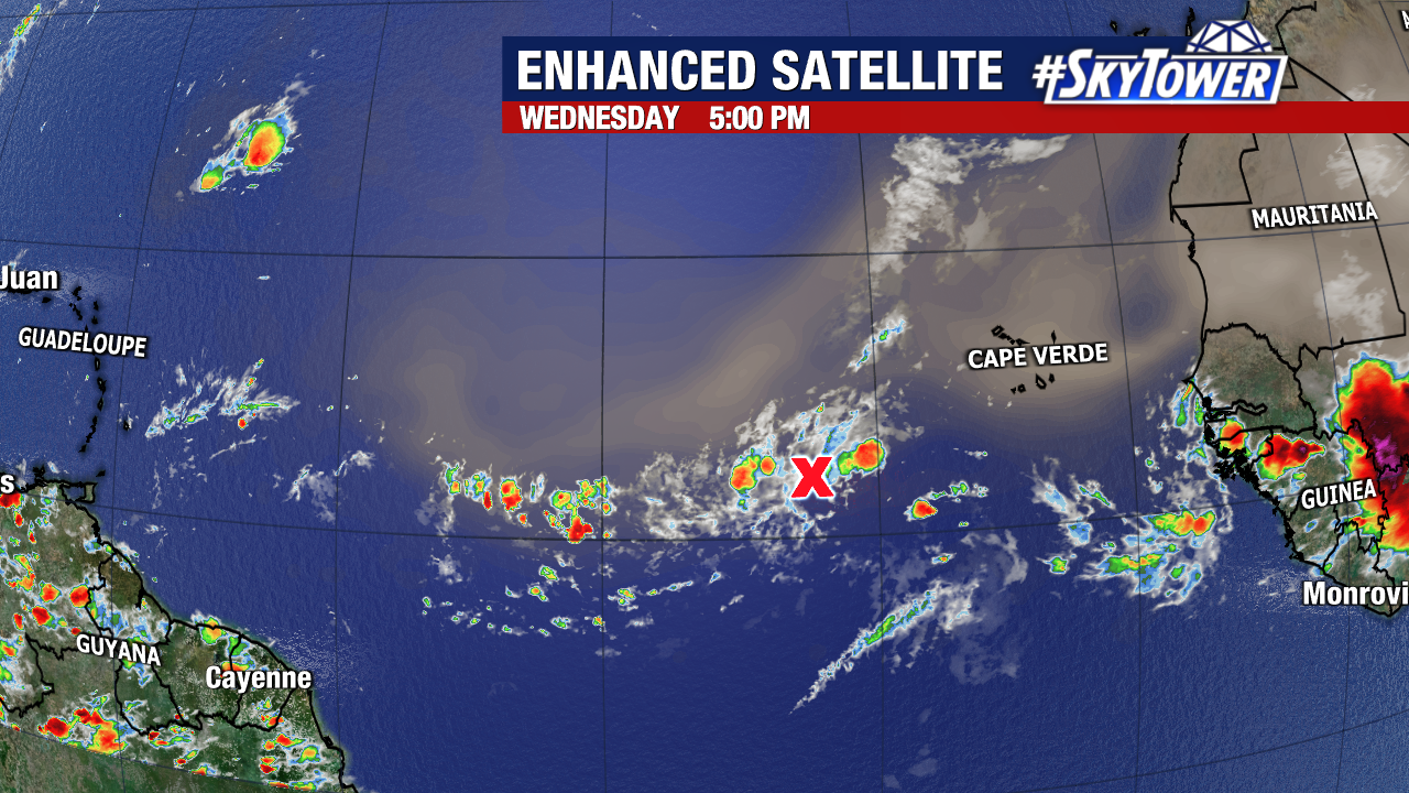
It is moving very slowly (10mph at times) across the central tropical Atlantic. Most long range models eventually pull this system north well before reaching Florida, although we will have more clarity and accuracy with our weather models when we actually have a storm to track. We have 10+ days to monitor this in the mainland United States before this would bring us any impacts.
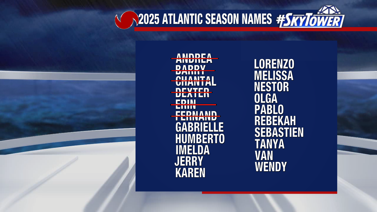
The next name on our 2025 storm naming list is Gabrielle.


 English (US) ·
  French (CA) ·