

 6 hours ago
8
PROTECT YOUR DNA WITH QUANTUM TECHNOLOGY
Orgo-Life the new way to the future Advertising by AdpathwayForecast models show the winds circling high above the North Pole slowing toward a full reversal in the first days of November, a development that would mark the earliest major sudden stratospheric warming in records dating to the late 1950s. As of early this week, the reversal was still a forecast rather than an observed event.
The timing is the headline — major disruptions usually arrive in January or February, after the polar vortex has fully formed. A break this early, colliding with an El Niño that NOAA says could be the strongest since at least 1950, leaves forecasters weighing two forces that push winter in opposite directions.
For households east of the Rockies, the practical question is whether early cold returns by late November or December. The honest answer is that nobody knows yet, and the official outlook still leans mild for most of the country through mid-November.
Stratospheric Winds Near a Reversal
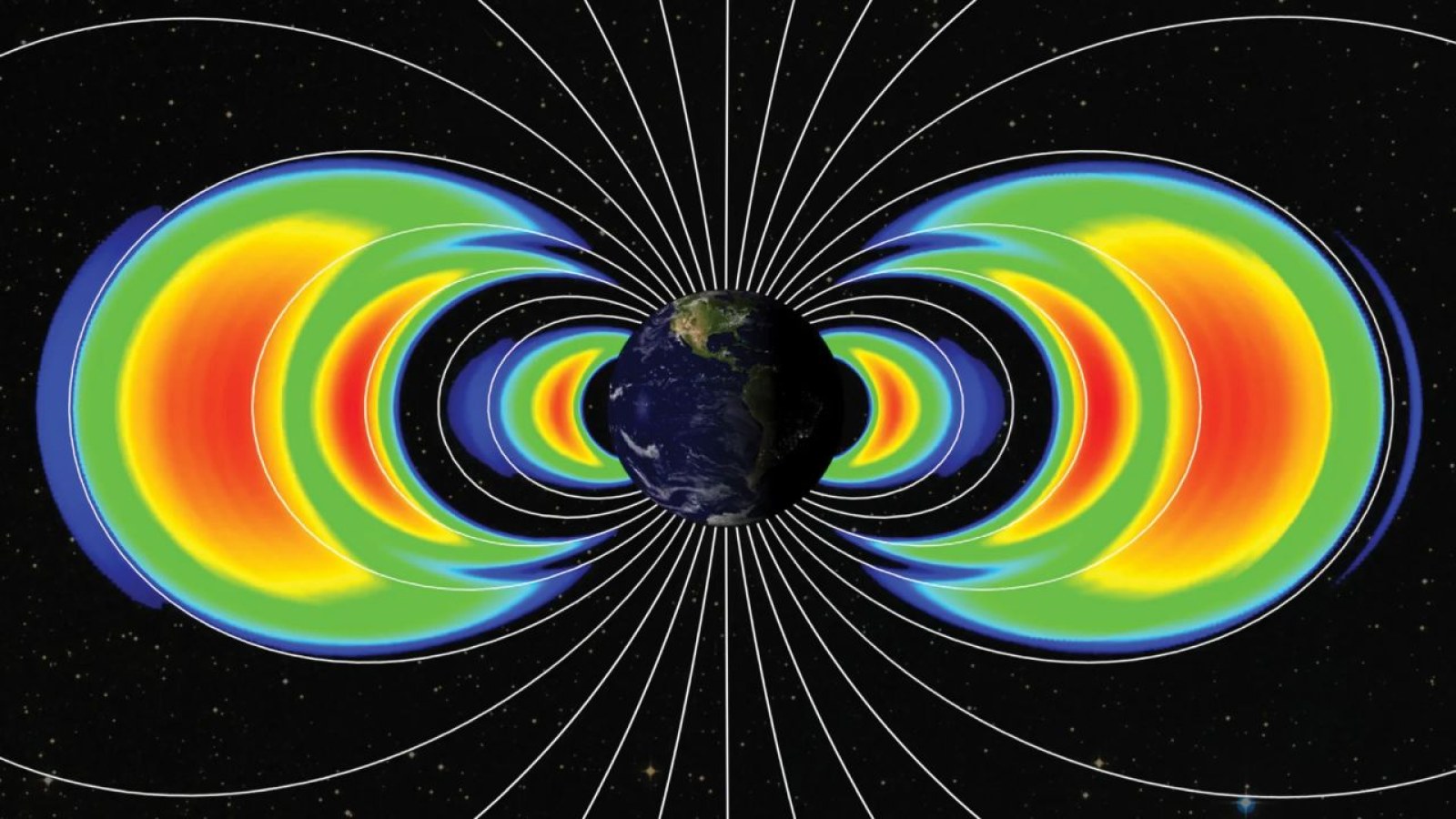
A sudden stratospheric warming happens when large atmospheric waves push up from the lower atmosphere and disrupt the polar vortex, a band of strong westerly winds about 19 to 30 miles above the Arctic. Temperatures in that layer can jump dramatically within days, and when the winds actually reverse direction, meteorologists classify the event as a major warming.
Severe Weather Europe reported that the main forecast ensembles are running near a reversal, with 96% of European model members showing it by Nov. 11, and that the vortex could split into two cores over Siberia and North America. Warming events have averaged about six per decade since records began in 1958, but never this early, The Philadelphia Inquirer reported. The two earlier November events both came later in the month.
MIT research scientist Judah Cohen, a specialist in polar meteorology, called the forecast exceptional. "This will be, I think, almost undoubtedly, the largest, earliest disruption of the polar vortex on record," Cohen told FOX Weather. He added that timing, strength and eventual impacts remain highly uncertain.
A Super El Niño Pulling the Other Way
The counterweight sits in the tropical Pacific. NOAA's Climate Prediction Center reported in its Oct. 8 update that the Niño-3.4 index reached +2.1°C (about +3.8°F) under an active El Niño Advisory. The agency put the odds at 83% that the October through December period would exceed the strength of every El Niño since 1950, and said a strong-to-very strong event is likely through early 2027.
Strong El Niño winters typically favor a stronger southern jet stream, a wetter South and milder conditions across Canada and the northern United States. FOX Weather's forecast center said a Super El Niño could offset some of the cooling that a disrupted vortex pushes into the U.S., and that persistent high pressure over Canada with mild Pacific air could limit how often Arctic air reaches the country.
Laura Ciasto, a meteorologist with the National Weather Service's extended prediction division, said the interaction is the real unknown. "How these two phenomena work together or compete will definitely influence what we feel at the surface," Ciasto told the Inquirer.
Cities East of the Rockies Watching Closely
If the disruption reaches the lower atmosphere, the greatest wintry potential in the U.S. would generally fall east of the Rockies, Cohen told FOX Weather, with possible impacts from late November into December. That puts cities such as Chicago, Detroit, Philadelphia, New York and Boston at the center of the watch.
Ciasto said warming events "lead to increased probabilities of below-normal temperatures across the Eastern United States," but added that the record offers little guidance this early. With so few November events, she said, there is uncertainty about what the surface impacts might look like. Effects, if they come, typically lag the stratospheric event by weeks.
Not every forecaster expects much. AccuWeather senior meteorologist Tom Kines told the Inquirer that cold air is limited this early in the season, and that Philadelphia might see a few below-normal November days but "nothing unusual." AccuWeather still expects a mild, low-snow winter along the I-95 corridor.
Forecast Limits and Household Planning
The official outlook remains warm for now. FOX Weather reported that the Climate Prediction Center called for above-average temperatures through the third week of November, and the CPC's Week-2 Hazards Outlook, issued Oct. 29 for Nov. 6 to 12, showed no temperature hazards for the Lower 48. NOAA's winter outlook released in October also favored warmer-than-average conditions across much of the northern U.S.
Seasonal and extended outlooks are probabilities, not schedules. A vortex split raises the odds of cold outbreaks; it does not guarantee them, and some past events produced little cold in a given region. The FOX Forecast Center described the overall winter forecast as very uncertain, and models diverge on the Arctic Oscillation after the first week of November.
For households, the reasonable step is light preparation rather than alarm. Late fall is a sensible time to service furnaces, check pipe insulation, review heating budgets and keep winter gear in vehicles across the Midwest and Northeast. Utility customers on fixed or low incomes can ask about budget billing or seasonal assistance before any cold snap pushes bills higher. Buying emergency supplies in bulk based on a stratospheric forecast would be premature.
The next checkpoints are close — forecasters will confirm within days whether the wind reversal occurs, and the CPC's next monthly ENSO update is scheduled for Thursday, Nov. 12. If the disruption couples downward, the clearest signals for late November should show up in the CPC's 8-14 day and week 3-4 outlooks over the next two weeks. Until then, the safest reading is simple: a record stratospheric event looks likely, while its effect on your thermostat remains unknown.
What Readers Want to Know
Has the polar vortex already split? Not as of the latest available reporting. Models show a wind reversal likely in early November, but forecasters had not confirmed one as of Nov. 2.
Why is this event considered historic? No major sudden stratospheric warming has been recorded this early since records began in the late 1950s. The earlier November events happened later in the month.
Does a polar vortex split mean a cold November? Not necessarily. Surface effects usually lag by weeks, and the Climate Prediction Center still favors above-average temperatures for much of the country into mid-November.
How does El Niño affect this winter? A strong El Niño typically favors milder conditions across the northern U.S. and a wetter South. Forecasters say it could blunt the cold that a disrupted vortex might otherwise send south.
Which areas could see cold if the disruption reaches the surface? The greatest wintry potential would generally be east of the Rockies, including the Midwest and Northeast, most likely in late November or December.
When will forecasters know more? The wind reversal should be confirmed or ruled out within days. The CPC's next monthly ENSO update is due Nov. 12, and its extended outlooks update daily.
© 2026 NatureWorldNews.com All rights reserved. Do not reproduce without permission.














 English (US) ·
 French (CA) ·