
PROTECT YOUR DNA WITH QUANTUM TECHNOLOGY
Orgo-Life the new way to the future Advertising by AdpathwayThere is a high chance for a tropical depression to form today or Sunday with Invest 90L just shy of reaching that status. Hurricane Hunters are set to fly into the area Saturday afternoon to get the latest data on this disturbance.
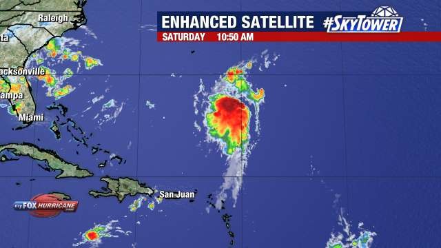
This broad low pressure system is 500 miles south-southeast of Bermuda and strong steering is still in place to guide the storm away from the U.S. with a north to northeast track.
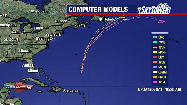
Bermuda is just west of where models take Invest 90L in the next few days. Watches could be required for the island as the storm looks like it could make a close pass before curving more northeast.
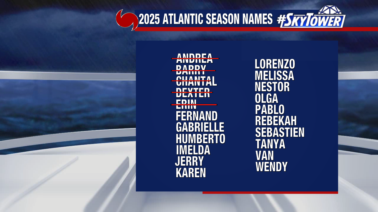
Invest 90L could become Fernand as things are favorable for additional development in the coming days. 39+ mph winds are needed for it to become Tropical Storm Fernand.
The other disturbance, Invest 99L, is about 800 miles east of the Windward Islands. It only has a 20% chance to form as it moves west.
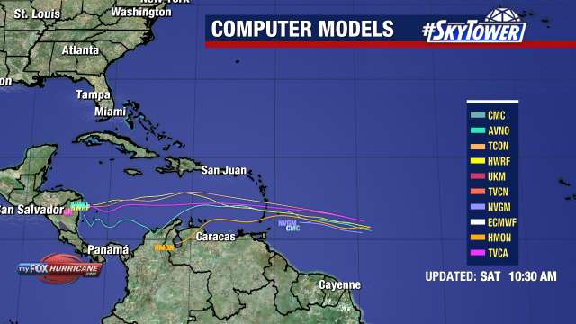
Locally heavy rain and gusty winds are possible for the islands Sunday into Monday as the disorganized area of storms moves through.


 English (US) ·
  French (CA) ·