

 12 hours ago
7
12 hours ago
7
PROTECT YOUR DNA WITH QUANTUM TECHNOLOGY
Orgo-Life the new way to the future Advertising by AdpathwayArctic sea ice has likely finished its summer retreat, and the result sounds ordinary. According to a preliminary analysis of National Snow and Ice Data Center (NSIDC) data by Alaska climate specialist Rick Thoman, the ice shrank to about 4.60 million square kilometers (1.78 million square miles) on Sept. 12. That ties last year for the 11th-lowest minimum since satellite records began in 1979. NSIDC's own formal analysis of the 2026 minimum is expected with its next monthly update.
By today's standards, that is a middle-of-the-pack year. By the standards of the late 20th century, it would have been a new record. Thoman calculated that this year's minimum is still "nearly 15 percent lower than the minimum in ANY year prior to 2007." He added that the typical minimum extent nowadays is 34 percent smaller than the early-1980s average.
That is the paradox of the Arctic's new normal. A year that no longer makes headlines would once have been shocking. The area of ice is also only part of the picture, because the ice that remains has grown thinner and holds less total volume than it once did.
A Summer That Tracked 2012, Then Cooled
For much of the season, 2026 looked like it might challenge the all-time low set in 2012. In its NSIDC monthly analysis of August Arctic sea ice, published Sept. 3, NSIDC said this summer's extent tracked 2012 levels until August.
Then the high Arctic stayed cool. Persistent cold-cored low-pressure systems kept a pronounced low-pressure cell over the pole, bringing clouds and May-through-July temperatures up to 2 degrees Celsius (4 degrees Fahrenheit) below average about 2,500 feet above the surface. In the southern Chukchi Sea, melt began nearly a month later than average. August extent averaged 5.56 million square kilometers (2.15 million square miles), the seventh lowest on record and 840,000 square kilometers (324,000 square miles) above the August 2012 record.
The ice still retreated far from Alaska's coast. NSIDC reported that an open-water area formed north of Utqiaġvik at about 75 degrees north in early August and grew into a large embayment in the ice edge. By the end of the month, much of the Beaufort Sea's ice had melted out. NSIDC scientist Matt Shupe, who sailed toward the North Pole aboard the Swedish icebreaker Oden from Svalbard in August, described "a remarkable amount of open water" that extended pretty much the whole way to the pole.
The long-term trend is not in doubt. NSIDC calculates that August extent has declined 9.6 percent per decade since 1979, a loss of about 3.24 million square kilometers, roughly twice the size of Alaska.
Why the Minimum Has Flattened While the Ice Keeps Thinning
The part that surprises many readers is that the September minimum has not kept falling steeply. Thoman wrote in his Alaska and Arctic Climate Newsletter analysis of the minimum that since 2007 there has been no significant trend in the Arctic-wide annual minimum extent. In 15 of those 20 years, the minimum fell between 4.1 and 4.8 million square kilometers.
He said the reasons are complex and involve long-term swings in ocean and atmospheric circulation. One likely factor is geography. Ice at lower Arctic latitudes now largely melts away by early September, and what remains is largely confined north of 76 degrees north, where strong solar heating lasts a much shorter time.
A flat extent does not mean the Arctic has stabilized. The trend differs sharply by region. Thoman found that the Asian Arctic seas lost huge amounts of ice in the first two decades of this century and have recovered a bit in the past six years. The Chukchi and Beaufort seas near Alaska have been flat for about 15 years with no sustained recovery, and the Atlantic side has kept declining since the 1990s.
Volume tells a starker story than area. The University of Washington's PIOMAS Arctic sea ice volume reanalysis combines observations and a numerical model to estimate ice thickness across the Arctic. It found that 2025 ended with the lowest annually averaged sea ice volume on record, essentially tied with 2017. In February 2026, ice volume was 42 percent below its 1979 maximum and 27 percent below the 1979 to 2025 average, and average thickness was just above the record low.
The winter set up this summer's thin pack. The 2026 winter maximum statistically tied the 2025 record low at 14.29 million square kilometers, according to NSIDC figures reported by Carbon Brief on the record-low winter peak.
What It Means Beyond the Arctic, and What Comes Next
The changes have practical consequences. Thoman noted that both the Northern Sea Route along Russia's coast and the Northwest Passage through the Canadian Arctic were open during the late summer, something that rarely happened in the 20th century. Longer open-water seasons draw more shipping, fishing and tourism into waters that remain hazardous, and they change conditions for walruses, seals and polar bears that depend on sea ice.
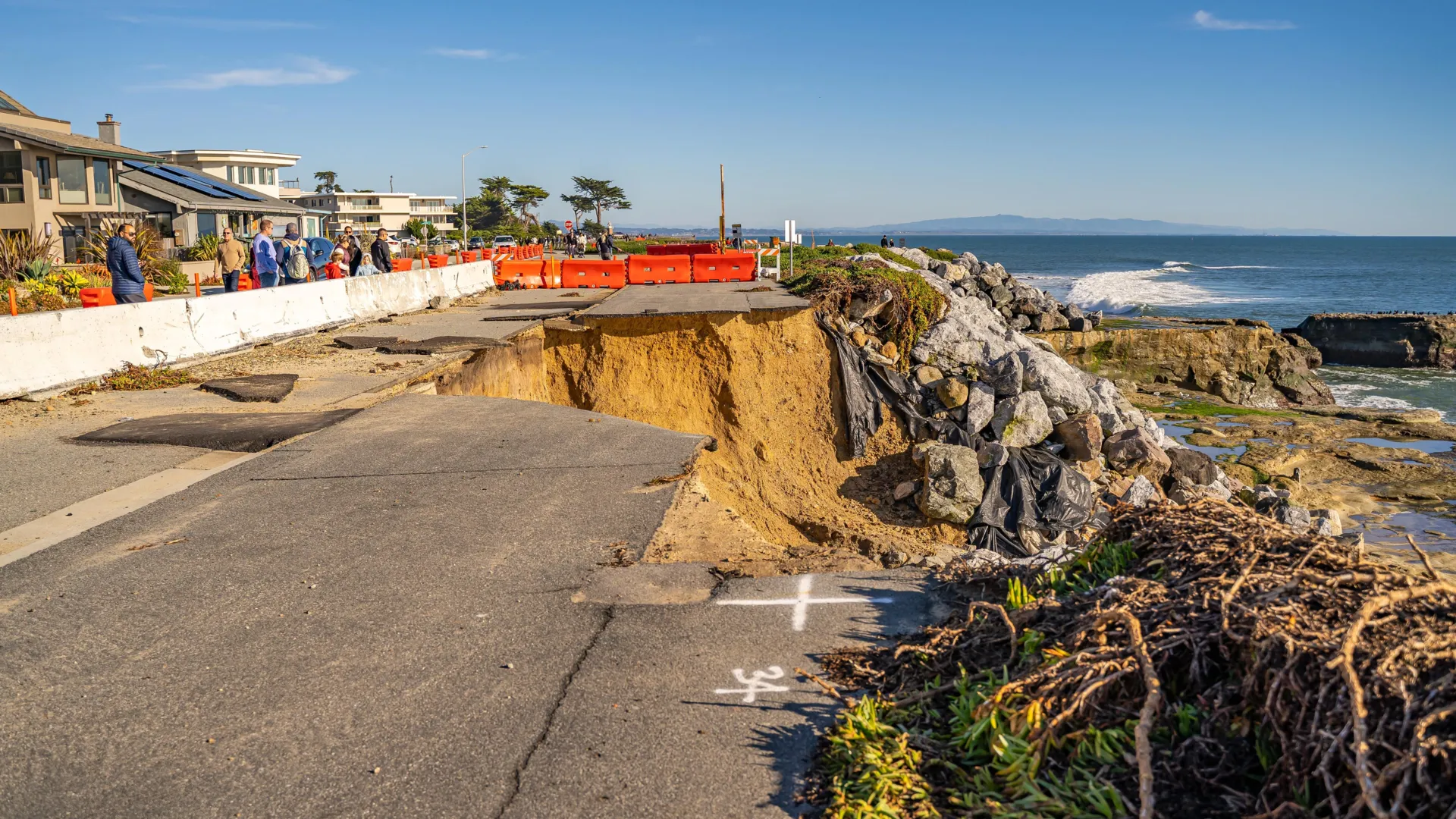
For coastal Alaska, less ice and a later fall freeze-up can leave shorelines exposed to autumn storm waves for longer, which can worsen erosion. The timing of freeze-up also matters for travel and hunting on the ice.
Thinner ice also changes how quickly the Arctic can respond to weather. A pack dominated by young, thin ice can lose area fast in a warm, stormy summer. Whether the minimum dips again depends on the weather in any given year. This summer's cool, cloudy pattern over the pole is a reminder that weather still shapes individual seasons, while warming sets the long-term direction.
The numbers come with caveats. The 2026 minimum is preliminary, and rankings and dates can shift slightly between datasets. JAXA and the European OSI SAF analyses both showed a tentative minimum on Sept. 13, a day later than NSIDC. PIOMAS volume figures are model estimates constrained by observations rather than direct measurements of the whole Arctic.
Data access has been uncertain too. NSIDC's monthly Sea Ice Today analyses returned in September with new funding from the donor-backed Climate Science and Communications Fund. PIOMAS has warned that its updates face a lengthy interruption after NOAA terminated the atmospheric reanalysis that drives the model in March 2026.
The next milestone is NSIDC's formal 2026 minimum analysis, expected with its early-October monthly update. The bottom line is simple. A year that now counts as typical would have set a record 20 years ago, and while the September extent has leveled off, the ice has kept getting thinner.
What Readers Want to Know
How low did Arctic sea ice get this year?
Preliminary NSIDC data put the 2026 minimum at about 4.60 million square kilometers (1.78 million square miles) on Sept. 12, tying 2025 for 11th lowest since 1979.
Why would that have been a record before 2007?
The 2026 minimum is nearly 15 percent lower than the minimum in any year before 2007, according to Rick Thoman's analysis of NSIDC data.
Has Arctic sea ice stopped declining?
The September minimum extent has shown no significant trend since 2007, but ice volume and thickness remain near record lows. The long-term trend since 1979 is clearly downward.
What is the difference between extent and volume?
Extent measures the ocean area with at least 15 percent ice cover. Volume accounts for thickness too, so thinner ice holds less volume over the same area.
Why did 2026 fall short of the 2012 record?
NSIDC reported that persistent cool, cloudy low-pressure systems over the high Arctic slowed melt in spring and early summer after the ice had tracked 2012 levels into August.
Why does this matter outside the Arctic?
Longer open-water seasons open shipping routes, change habitat for walruses, seals and polar bears, and can expose Alaska's coast to fall storms for longer.
When will official numbers be released?
NSIDC is expected to publish its formal 2026 minimum analysis with its early-October monthly update.
© 2026 NatureWorldNews.com All rights reserved. Do not reproduce without permission.

















 English (US) ·
  French (CA) ·