
 7 months ago
88
7 months ago
88
PROTECT YOUR DNA WITH QUANTUM TECHNOLOGY
Orgo-Life the new way to the future Advertising by AdpathwayDisclaimer: This site is not affiliated with the National Hurricane Center, Hurricane Hunters, Storm Prediction Center, or National Weather Service. ALL forecasts herein are the result of my analysis, and I am solely responsible for the content. As ALWAYS, follow the National Hurricane Center, National Weather Service, and your local Emergency Management officials for emergency decisions. In addition, this is strictly a FORECAST OFFICE. I CANNOT make decisions regarding travel plans, etc. My purpose, is to provide you the information, based solely on information I analyze, and the accuracy of the information at hand of the time of analysis, so you may make informed decisions.
(T. F. “Storm” Walsh)
Thanks to all of you that still follow my forecasts. I truly appreciate each and every one of you!
For those who have donated to my site, your help has been greatly appreciated. If you are not aware, donations to my site help pay for subscriptions to sites I use as well as software updates, which provide all the models and information used in my forecasts. To donate, please click the DONATE button to the right side of the page, or on the graphic of the dog. Any help you provide is immensely appreciated!
DONATIONS NEEDED AND APPRECIATED


I will reiterate, my forecasts are based on the available information at the time of analysis, and are only as accurate as the information analyzed and the solutions provided.
Good day everyone!
I will be out of the office from NOV. 22 through the end of the month, as we will be traveling to spend the Thanksgiving holiday with family. I should be back on DEC. 01 to resume forecasting, but will once again be out of the office OOA Dec. 3 – 4 to travel to Gainesville as my wife is having a minor outpatient surgical procedure.
I will be using the ECMWF model for the main forecast graphics for winter weather forecasts. Over my years of forecasting, I prefer this model, as numerous articles depict the ECMWF to be the more accurate model as compared to the GFS. Here is an excerpt from an article I found:
The ECMWF model’s resolution is 9km or about 5.5 miles. The GFS has a resolution of 25km or roughly 15.5 miles. This resolution is the distance between two points on a grid that the weather model uses. The smaller the number, the better the resolution/quality of a forecast. The European Center for Medium-Range Weather Forecasts (ECMWF) model is another global numerical weather prediction model that is highly regarded for its accuracy. It employs advanced data assimilation techniques and sophisticated numerical algorithms to simulate atmospheric processes. The ECMWF model provides high-resolution forecasts for various meteorological variables, enabling forecasters to make more precise predictions. According to current weather forecasting standards, the ECMWF model is generally considered the most accurate for predicting snowfall totals, often performing slightly better than American weather models like the GFS.
For forecast temperatures less than 72 hours out in the forecast period, I prefer using the NAM (North American Mesoscale) model. This is what we refer to as a regional model, vice a global model, with its forecast grids within the North American continent. The NAM 3km only goes out to 60 hours, and the NAM 12km goes out to 84 hours.
Should a forecast indicate very cold temperatures, or cold snowy weather:

The following link is from the Animal Welfare Act, and provides guidelines for temperatures regarding your animal:
ANIMAL WELFARE ACT
https://www.aphis.usda.gov/sites/default/files/ac-tech-note-temp-req-dogs.pdf
CONUS SATELLITE LOOP

WPC 12Z SURFACE MAP NOV. 13, 2025

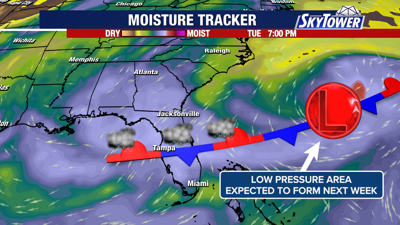
Analysis this morning indicates that surface temperatures continue to slowly modify and are slowly warming. Warnings, advisories and outlooks have diminished, with a limited few still in effect for small portions of the eastern CONUS. Please click the NWS watch and warning display map further on in this synopsis to view ant advisories or statements for your area.
NAM TEMPERATURE ANIMATION 48 HOURS


ECMWF MSLP 48 HOUR FORECAST

NAM MAXIMUM TEMPERATURE FORECAST NOV. 13, 2025


WPC SURFACE ANALYSIS 12Z FORECAST NOV. 14

NAM MINIMUM TEMPERATURE FORECAST NOV. 14, 2025


NAM APPARENT TEMPERATURE FORECAST NOV. 14, 2025


WUNDERGROUND FROST AND FREEZE FORECAST FOR NOV. 14, 2025

The following are forecast snowfall totals and precipitation by type during the next 120 hours
ECMWF 120 HOUR FORECAST KUCHERA SNOWFALL TOTALS AND PRECIPITATION TOTALS BY TYPE (ANIMATED)


Elsewhere, the SPC has designated a MARGINAL risk of severe weather in the current DAY 3 outlook for Nov. 15, 2025: IN THE UPPER OH VALLEY VICINITY…
SPC SUMMARY
Isolated damaging winds are possible during the late afternoon to evening Saturday across the Upper Ohio Valley vicinity.
SPC DAY 3 SEVERE THUNDERSTORM OUTLOOK (LINKED)


SPC DAY 3 PROBABILITY CONVERSION TABLE

The CSU – MLP modeling and NSSL ML (Machine Learning) appear to have had a decent handle on the forecast.
CSU – MLP SEVERE PROBABILITY FORECAST

NSSL ML SEVERE PROBABILITY

From the SPC (Storm Prediction Center):
Upper OH Valley to the Mid-Atlantic States…
Amplification of a large-scale upper trough appears probable from the Canadian Prairies across the Great Lakes towards the Northeast through early Sunday. This will induce a deepening surface cyclone from Lake Superior/northern ON towards New England. Trailing to its southwest will be a sharpening cold front that should accelerate southeastward. With only modified boundary-layer moisture return (emanating from east TX and LA) ahead of the front, MLCAPE should be quite limited and spatially confined to the OH vicinity. But intensifying tropospheric wind profiles, coupled with the increasing large-scale ascent along the front, are concerning for a conditional threat of at least damaging winds where surface-based convection can develop. Guidance consensus suggests this may occur towards late afternoon and especially into the evening across the Upper OH Valley. East of the Appalachians, development of surface-based instability appears unlikely Saturday night, although elevated convection may persist towards parts of the coastal Mid-Atlantic.
Based on my analysis of current forecast severe weather parameters, I don’t see anything at this time that shows anything of real concern, based on lack of any CAPE. Forecast values of SBCAPE, MLCAPE and MUCAPE are currently below 100 j/kj-1. IF an increase to a SLIGHT risk should occur, I will try to update on Saturday.
The CSU – MLP and NSSL ML severe probability forecast modeling is indicating a risk for a possible MARGINAL to SLIGHT risk of severe weather for NOV. 17, 2025
CSU – MLP SEVERE PROBABILITY FORECAST

NSSL ML SEVERE PROBABILITY FORECAST

Elsewhere, with the QBO (Quasi Biennial Oscillation) in an easterly phase, the forecast still indicates that we will complete a SSW (Sudden Stratospheric Warming) event toward months end. This is based on rising stratospheric temperature and pressure anomalies over the Arctic / Polar region. These mainly take effect at approximately 60 degrees N Latitude. Should this occur, it could allow for colder temperatures to once again affect portions of the CONUS.
ECMWF 10 MB AND 30 MB TEMPERATURE AND PRESSURE ANOMALIES ANIMATIONS 240 – 360 hours


ECMWF TEMPERATURE FORECAST ANIMATION 240 – 360 HOURS

The following NWS Watch / Warning map will provide local NWS information for your area. Click the image, then once it refreshes, click on your area of interest to view any special weather statements, hazards or advisories for your area.
NWS WATCH / WARNING DISPLAY (LINKED…CLICK MAP, THEN YOUR AREA)
NWS DOPPLER RADAR LOOP (LINKED, CLICK RADAR MAP) RAP RADAR (CLICK IMAGE THEN GO TO LOOP DURATION AND PICK LENGTH OF LOOP, THEN CLICK RADAR SITE)
 CARIBBEAN RADAR (CLICK IMAGE)
 You may direct any questions by contacting me personally, ANYTIME, at: [email protected]
Have a blessed day!
T. F. “STORM” WALSH III
GMCS, USCG (ret)
METEOROLOGIST / HURRICANE SPECIALIST /SEVERE WEATHER SPECIALIST


 English (US) ·
  French (CA) ·